
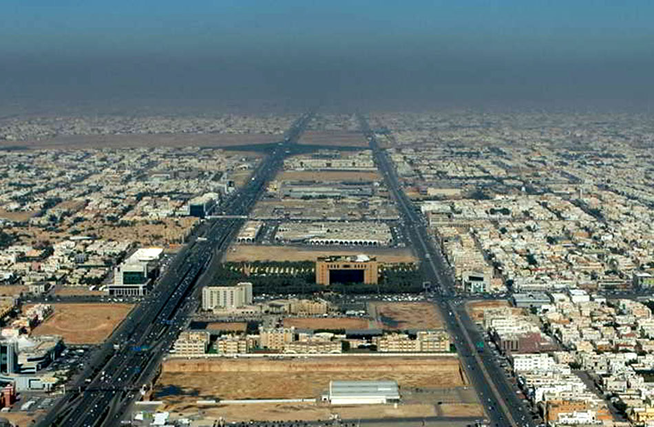
A detailed road network information update (node and link attributes) was carried out, with functional classification of roads, and development of base year road network.
As for the update of the trip generation module, the project included an extensive analysis of field work consisting of an existing household survey and conducting new surveys to obtain more accurate results for new development areas. It also included the improvement of the model for some sub-groups of population (such as non Saudi inhabitants), the update of the model with new land use information, and the improvement of the peak hour matrix in order to cover also scholar trips into this period.
Additionally, and after conducting focus groups, Stated Preference surveys were conducted presenting participants the option of their current mode of transportation (private vehicle) and a public transport alternative (varying between BRT and metro). The results threw values of time for on board / driving time, walking to each transport mode, waiting time, or transfers.
Ultimately, the project pursued the following objectives:
- Improving the prognosis of mobility of Riyadh Metropolitan area.
- Promoting better integration of land use information to improve estimates of the impacts of new urban developments.
- To refine the modal choice model making it more sensitive to the design variables of the new public transport system planned and the control measures that the Administration may adopt.
- To facilitate the setup process of the model in the new EMME properties in order to be able to create specific applications.